Size of this preview: 800 × 560 pixels. Other resolution: 1,280 × 896 pixels.
Original file (1,280 × 896 pixels, file size: 253 KB, MIME type: image/jpeg)
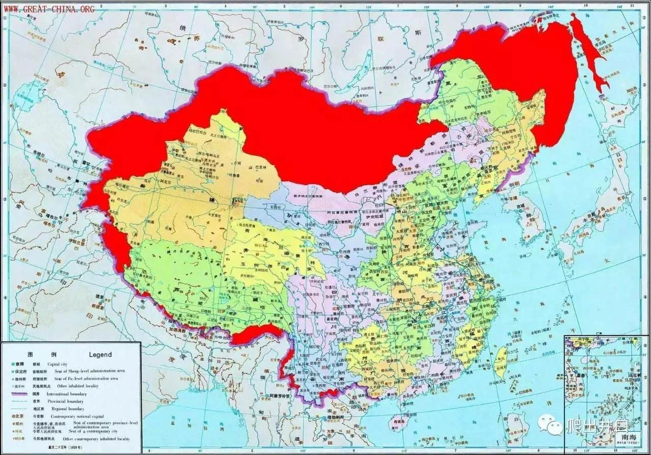
Map of Qing borders at their height (in red) overlaid by a map of modern-day China (the People's Republic)
File history
Click on a date/time to view the file as it appeared at that time.
| Date/Time | Thumbnail | Dimensions | User | Comment | |
|---|---|---|---|---|---|
| current | 22:03, 30 January 2024 | | 1,280 × 896 (253 KB) | CriticalResist (talk | contribs) |
You cannot overwrite this file.
File usage
The following page uses this file: