No higher resolution available.
RS_1993.png (250 × 238 pixels, file size: 24 KB, MIME type: image/png)
Summary
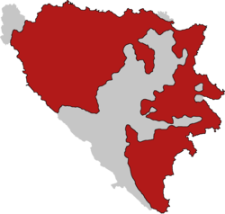
Map of Republika Srpska-controlled territories in 1993.
File history
Click on a date/time to view the file as it appeared at that time.
| Date/Time | Thumbnail | Dimensions | User | Comment | |
|---|---|---|---|---|---|
| current | 09:08, 30 April 2024 | | 250 × 238 (24 KB) | ComradeSyntrofos (talk | contribs) | Map of Republika Srpska-controlled territories in 1993. |
You cannot overwrite this file.
File usage
The following page uses this file: