(Created.) Tag: Visual edit |
mNo edit summary Tag: Visual edit |
||
| Line 4: | Line 4: | ||
== Territory == | == Territory == | ||
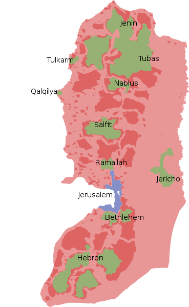
[[File:West Bank.png|left|thumb|325x325px|Green: Palestinian control Red: Joint control Blue and pink: Israeli control]] | [[File:West Bank.png|left|thumb|325x325px|Green: Palestinian control Red: Joint control Blue and pink: Israeli control]]Before 1948, Palestine consisted of all of the land on the land on the Sinai Peninsula outside of Egypt. In 1948, the area was partitioned into two states, Israel and Palestine. Israel was not satisfied with its territory and soon annexed 60% of Palestinian land in the Arab–Israeli War.<ref>{{Citation|author=|year=1948|title=Area of Jurisdiction and Powers Ordinance (1948)|chapter=|section=|page=57|quote=|pdf=|city=|publisher=israellawresourcecenter.org|isbn=|doi=|lg=|mia=|title-url=https://web.archive.org/web/20170624062229/http://www.israellawresourcecenter.org/israellaws/fulltext/areajurisdictionpowersord.htm|chapter-url=|trans-title=|trans-lang=}}</ref> During the Six-Day War in 1967, Israel invaded the rest of Palestine and annexed East Jerusalem.<ref>{{Citation|author=|year=2018|title=Milestones: 1961–1968|chapter=|section=|page=|quote=|pdf=|city=|publisher=Office of the Historian|isbn=|doi=|lg=|mia=|title-url=|chapter-url=|trans-title=|trans-lang=}}</ref> Most of the West Bank is now occupied by Israel.<ref>{{News citation|journalist=|date=2003-12-17|title=Applicability of the Geneva Convention relative to the Protection of Civilian Persons in Time of War, of 12 August 1949, to the Occupied Palestinian Territory, including Jerusalem, and the other occupied Arab territories|url=http://domino.un.org/unispal.nsf/97360ee7a29e68a085256df900723485/d6f5d7049734efff85256e1200677754|newspaper=United Nations|archive-url=https://web.archive.org/web/20070603050844/http://domino.un.org/unispal.nsf/97360ee7a29e68a085256df900723485/d6f5d7049734efff85256e1200677754|archive-date=2007-06-03|retrieved=2022-01-03}}</ref> | ||
== References == | |||
[[Category:Countries targeted by imperialist aggression]] | [[Category:Countries targeted by imperialist aggression]] | ||
[[Category:Countries]] | [[Category:Countries]] | ||
[[Category:Stubs]] | [[Category:Stubs]] | ||
<references /> | |||
Revision as of 22:49, 3 January 2022
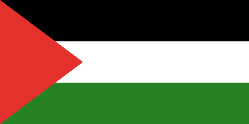
Palestine, officially the State of Palestine, is an independent state in the Western Asia that is partially occupied by Israel.
Territory

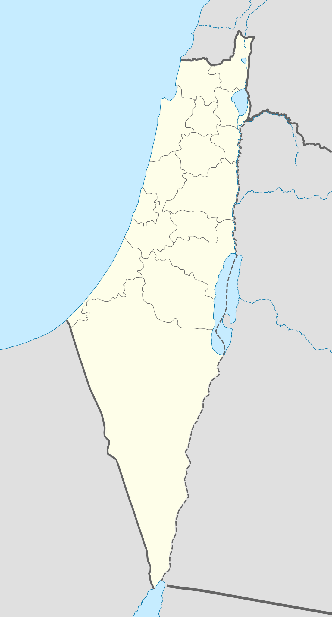
Before 1948, Palestine consisted of all of the land on the land on the Sinai Peninsula outside of Egypt. In 1948, the area was partitioned into two states, Israel and Palestine. Israel was not satisfied with its territory and soon annexed 60% of Palestinian land in the Arab–Israeli War.[1] During the Six-Day War in 1967, Israel invaded the rest of Palestine and annexed East Jerusalem.[2] Most of the West Bank is now occupied by Israel.[3]
References
- ↑ Area of Jurisdiction and Powers Ordinance (1948) (1948) (p. 57). israellawresourcecenter.org.
- ↑ Milestones: 1961–1968 (2018). Office of the Historian.
- ↑ "Applicability of the Geneva Convention relative to the Protection of Civilian Persons in Time of War, of 12 August 1949, to the Occupied Palestinian Territory, including Jerusalem, and the other occupied Arab territories" (2003-12-17). United Nations. Archived from the original on 2007-06-03. Retrieved 2022-01-03.

