Size of this preview: 647 × 600 pixels. Other resolutions: 2,209 × 2,048 pixels | 3,835 × 3,555 pixels.
Original file (3,835 × 3,555 pixels, file size: 947 KB, MIME type: image/png)
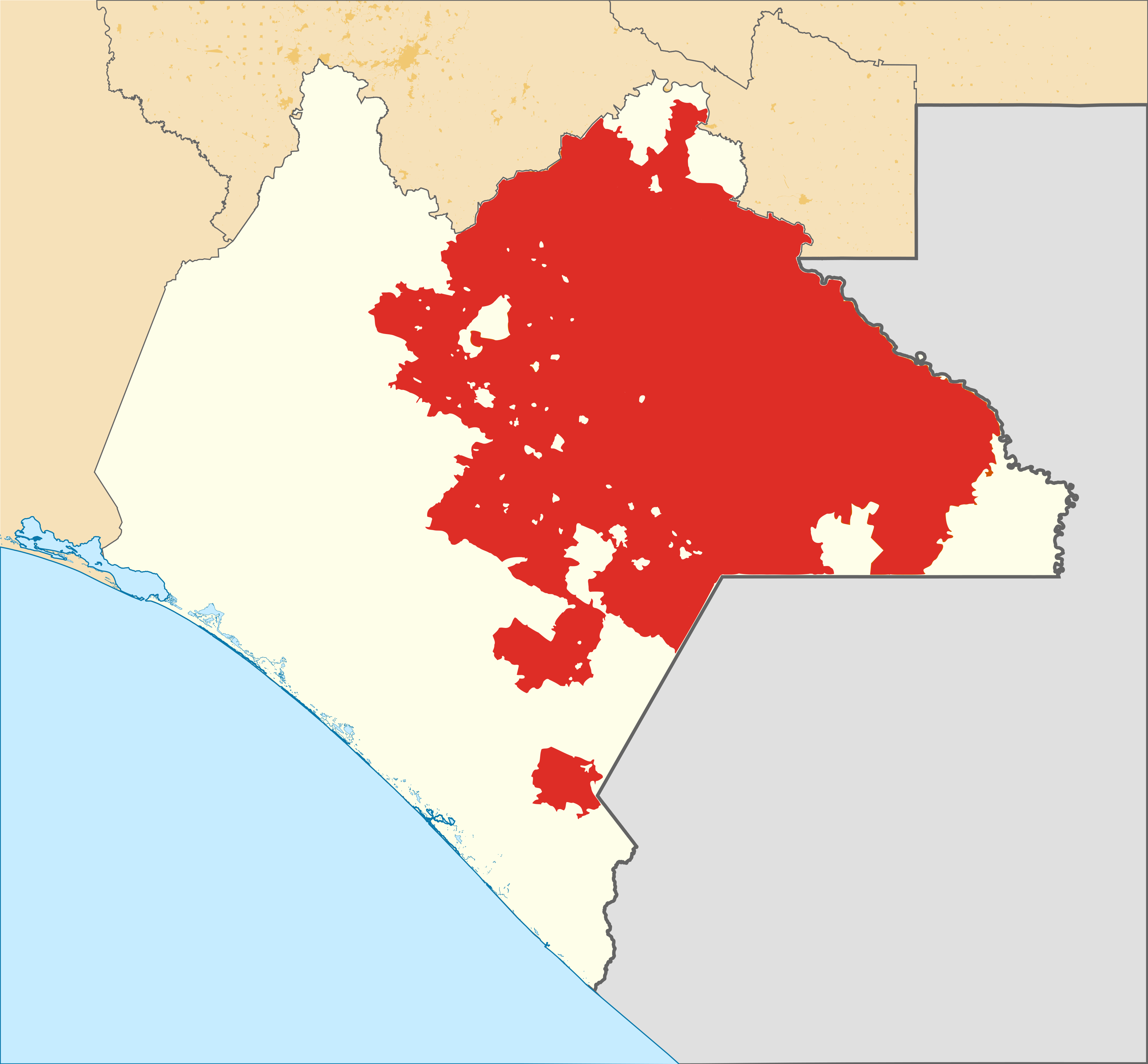
A map of the territory in Chiapas, Mexico, controlled by the Rebel Zapatista Autonomous Municipalities.
File history
Click on a date/time to view the file as it appeared at that time.
| Date/Time | Thumbnail | Dimensions | User | Comment | |
|---|---|---|---|---|---|
| current | 20:28, 19 March 2022 | | 3,835 × 3,555 (947 KB) | Ledlecreeper27 (talk | contribs) |
You cannot overwrite this file.
File usage
There are no pages that use this file.