More languages
More actions
Jucheguevara (talk | contribs) (created category page) Tag: Visual edit |
Jucheguevara (talk | contribs) No edit summary Tag: Visual edit |
||
| Line 1: | Line 1: | ||
[[Category:Images]] | |||
Latest revision as of 04:34, 17 May 2022
Subcategories
This category has the following 6 subcategories, out of 6 total.
B
- Balkanization maps (3 F)
H
- Historical maps (1 F)
L
- Locator maps (1 F)
M
- Maps of UN votes (9 F)
T
- Thematic maps (2 F)
- Time zone maps (1 F)
Media in category "Maps"
The following 7 files are in this category, out of 7 total.
-
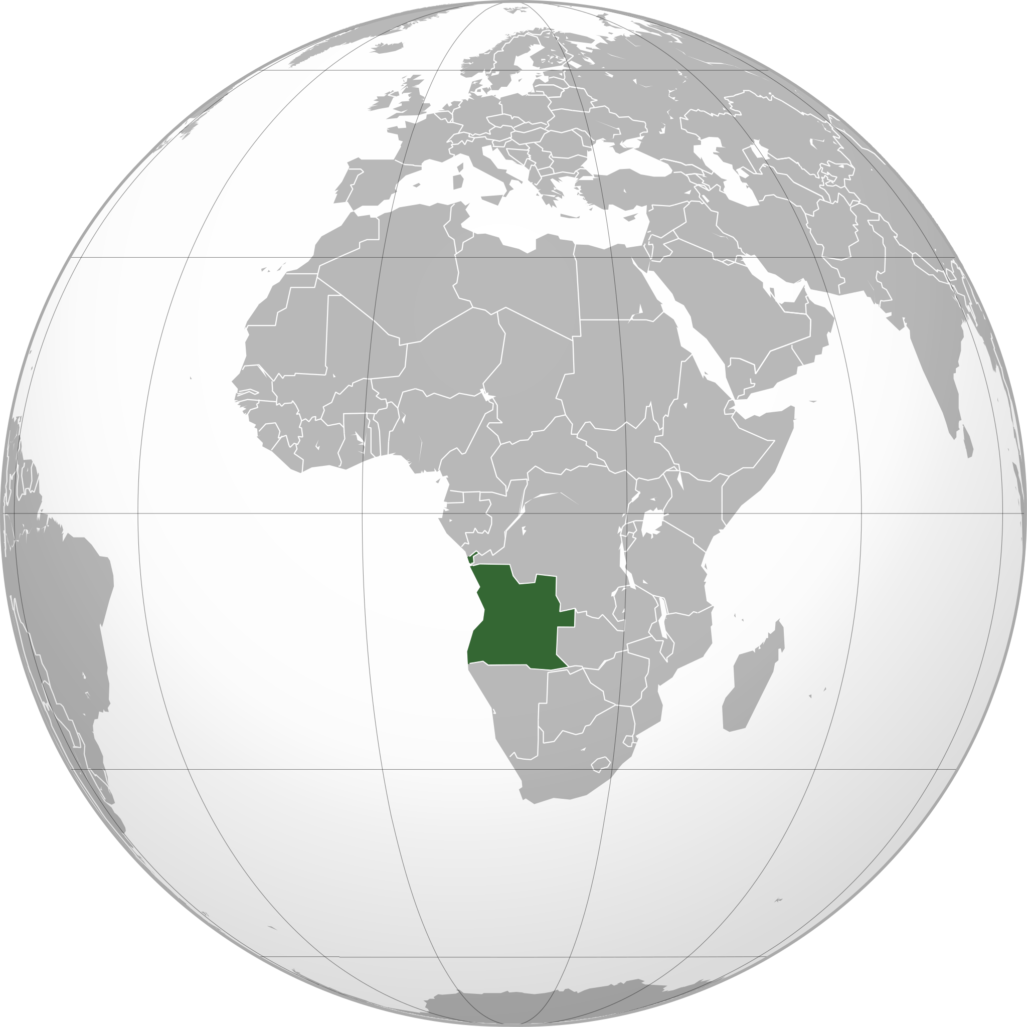
Angola map.png 2,048 × 2,048; 688 KB
-
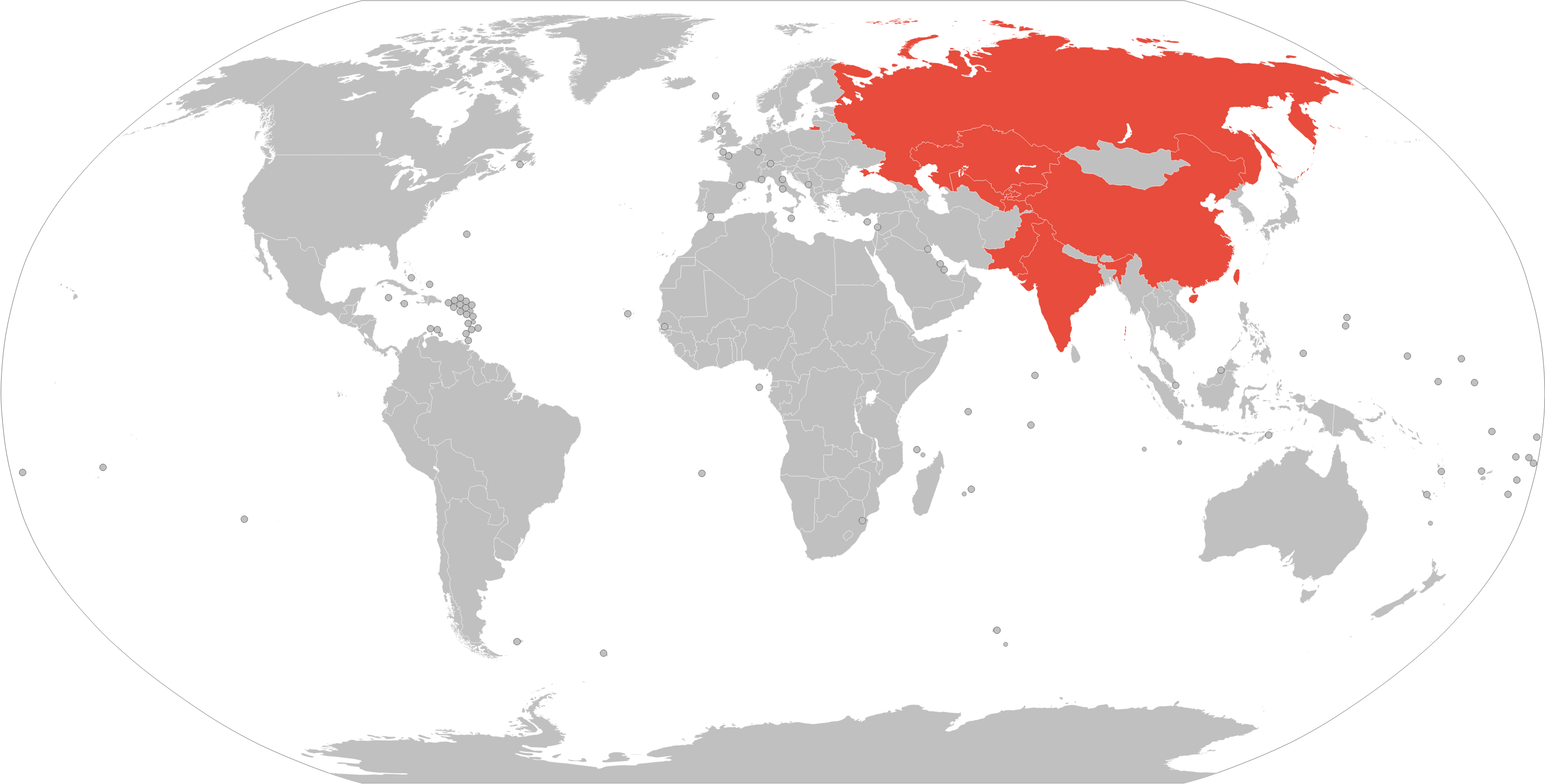
Map of the SCO.png 2,836 × 1,440; 427 KB
-
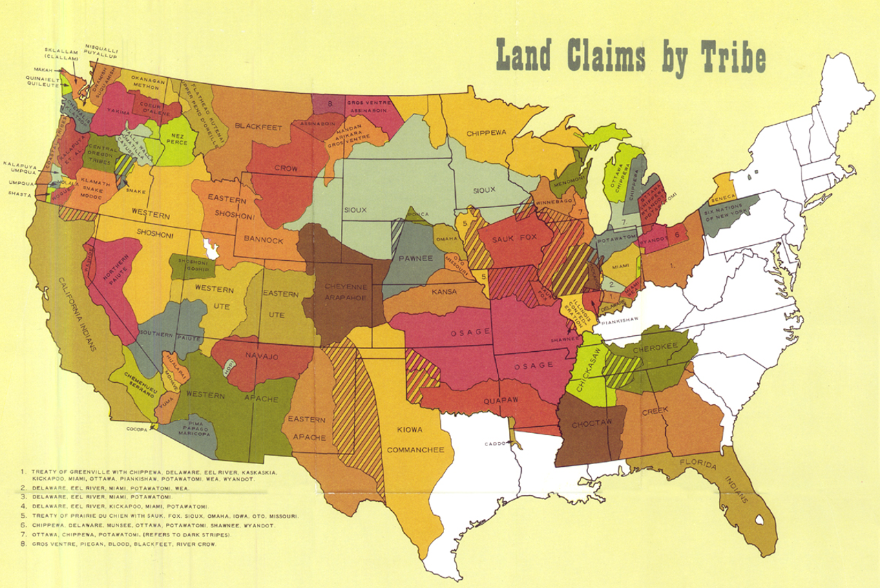
Native land claims map.png 1,278 × 854; 1.81 MB
-
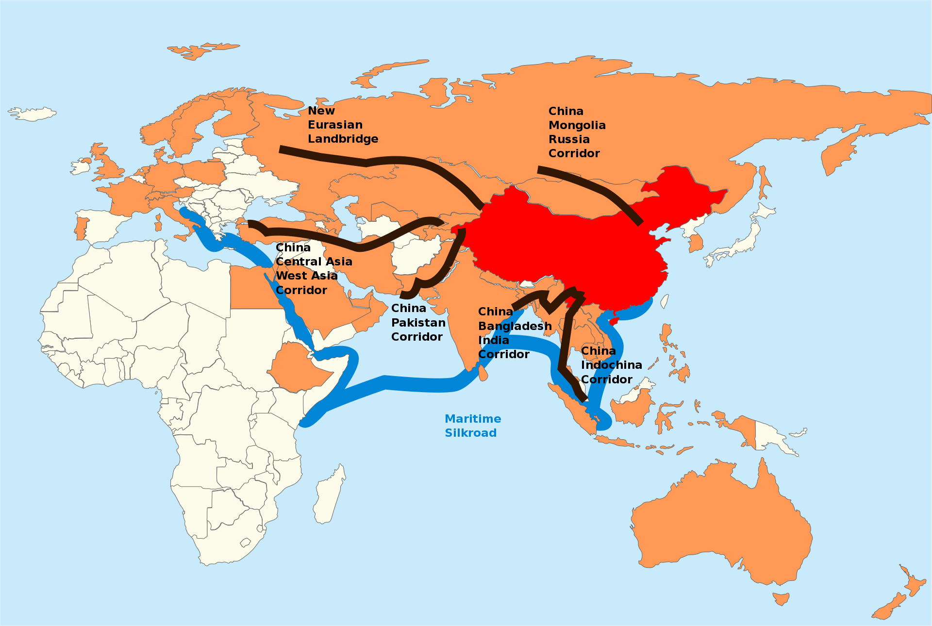
One-belt-one-road.svg.png 1,920 × 1,290; 445 KB
-
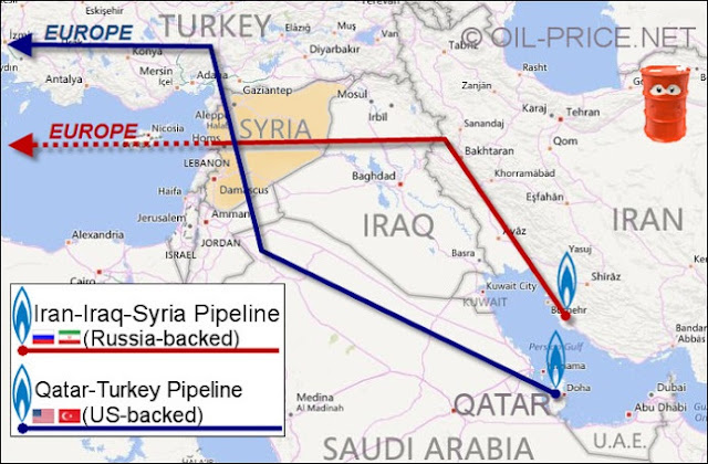
Syria proposed pipelines.jpg 640 × 420; 100 KB
-
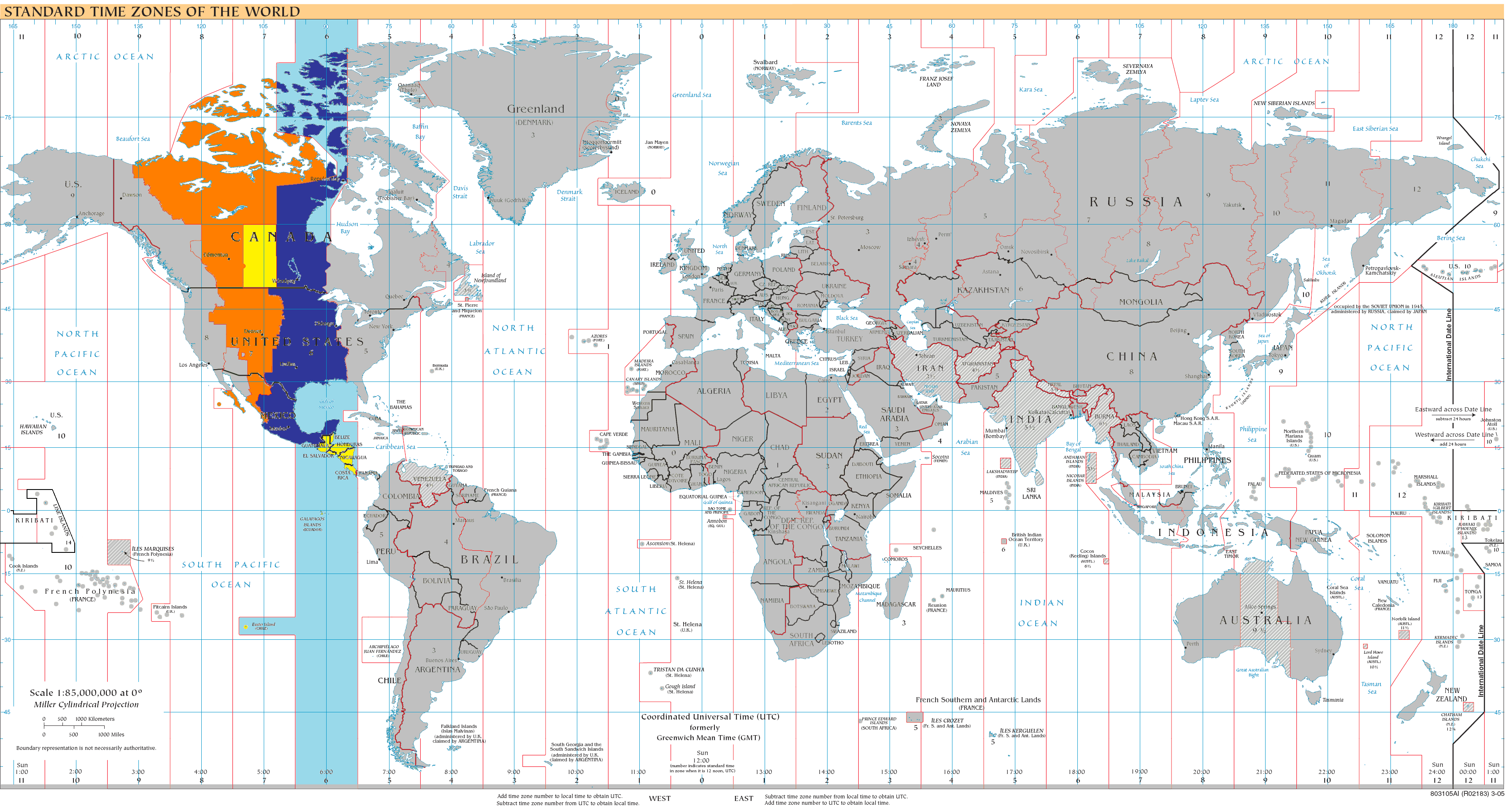
Timezones2008 UTC-6 gray.png 3,583 × 1,917; 969 KB
-
Xinjiang map.svg 857 × 699; 139 KB
